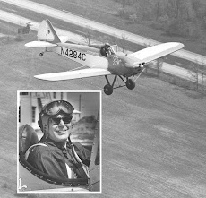
Yesterday I went for a nice evening flight. It was a cool 55 deg. I wore my fleece vest under my leather jacket, which kept my shoulders warm. I should have also worn a sweater, my left arm got very cold, but it was fun anyway. The wind was 8 knots from a little left of runway 23. Once in the air it was very smooth. I didn't leave the traffic pattern, I only had 40 minutes until sunset, so I just went around the airport.
Looking NE from the left downwind for 23.
Looking East, we're well past peak fall colors, very brown. We mostly have yellow and brown at best.
Looking North, the white building is a book warehouse. It's an easily spotted reference, except when it snows, which isn't often.
Looking West, the airport is in the lower left corner. Fred's hangar/house/terminal is the white building just by the left edge of the picture. Merry Mountain is behind the spreader bar. Scott Mountain is just to the left of the cabane strut, behind Scott is Chicken Mountain. Gibson Mountain is hiding behind the strut. Way in the back are the Blue Ridge Mountains. The airport is at 454 feet and the top of Merry Mountain is just over 1,100 feet right next to the downwind for Runway 5. It looks really close when you take off on 5 and turn left toward it. The Downwind for 5 is halfway between it and the runway so it actually is close. At the point you make your turn from the runway you're still not above it.


No comments:
Post a Comment